


What do most of us do when we need quick information?
We Google it, of course.
Right there in that search bar beneath the iconic multi-colored buzzword, we find a portal to everything we need to know.
MORE PHOTOS AT BOTTOM OF STORY -
It’s no secret that Google applications have become commonplace over the last few decades, and Dr. Jimmy Wilson, assistant professor of management and geography at ONU, knows this better than anyone.
That’s why he applies it in the classroom in the form of a Google Maps class project.
For the past few years, the Google Maps project has been a significant part of Wilson’s marketing class “Geoanalytics,” which deals with geographic information systems (GIS) through a business lens.
We know GIS in many forms, such as Mapquest or GPS navigation systems, but the primary go-to is Google Maps – precisely the reason it is the subject of the project.
When you Google the name of a business or find it on Google Maps, what you will see is a profile on that business, often including a storefront photo, address, hours of operations, website information, and so on.
This information is especially useful for those visiting a place they’ve never gone before, since they can also get driving directions directly from Google Maps.
Whether they know it or not, businesses depend on this information. While extremely handy if kept up-to-date, the Google profile becomes less useful if the information is missing, incorrect or outdated, which is often the case for local businesses who don’t utilize Google. This is the problem the Google Maps project is designed to address.
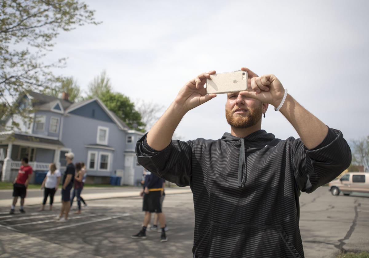
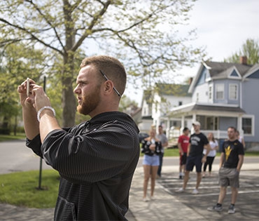
For the six-week-long project, students are grouped together and sent out into the town of Ada and the surrounding local community to various businesses. For each one, the students confirm basic information about the business and make sure it matches what is currently on the business’ Google profile, which they update accordingly.
They also take updated pictures of the storefront to add to the profile. This work is much appreciated by the local business owners, who are thankful for the extra help to inform their customers.
The Google Maps project offers a unique standpoint and is unlike many other classes in that it takes place outside. There are also the benefits of the students’ exposure and contribution to the local community.
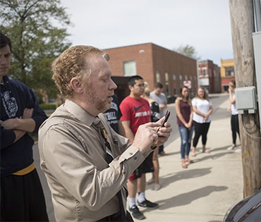
Dr. Jimmy Wilson, near the Railroad Park, instructs students in his geoanalytics course working on the Google Maps project.
"It’s a good example of civic engagement and active learning,” Wilson says. “We all win from the results. The students and I get to perform valuable field research outside during class time, they learn a valuable skill while interacting with local residents and businesspeople, and their product directly improves the quality of life here in Ada."
PHOTOS
Dr. Jimmy Wilson, near the Railroad Park, instructs students in his geoanalytics course working on the Google Maps project.
"It’s a good example of civic engagement and active learning,” Wilson says. “We all win from the results. The students and I get to perform valuable field research outside during class time, they learn a valuable skill while interacting with local residents and businesspeople, and their product directly improves the quality of life here in Ada."