























2014 Hardin County plat map is now available

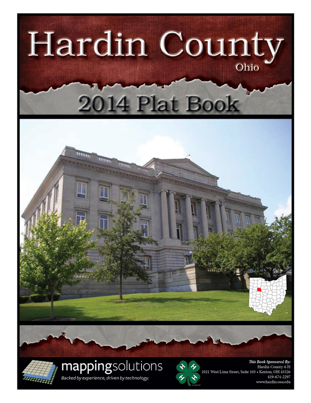
Who owns Hardin County? Thousands of people have a piece of it, and they are listed in the new plat book published by the Hardin County 4-H with Mapping Solutions.
The 2014 book is available for purchase for $20 at the OSU Extension Office, 1021 W. Lima St., Suite 103, and also at the Hardin County Soil and Water Conservation District, 12751 5R 309W both in Kenton. For more information contact the office at (419) 674-2297.
New this year are color aerial view maps opposite the landownership map pages. The 96- page spiral bound book features township and range maps of Hardin County. These maps include the property boundaries for all rural parcels within the township, the name of the owner and the number of acres owned.
Also, there is a handy landowner index for easy cross referencing. Due to the large number and small lot sizes, the book does not include those maps of landowners within Hardin County towns, villages and cities.
Other maps in the new book include: a county road map and municipal maps of Ada, Alger, Dola, Dunkirk, Forest, Hepburn, Kenton, McGuffey, Mount Victory, Ridgeway and Roundhead. A list of elected county officials and information about OSU Extension programs are found in the new edition.
This information is valuable to anyone with a need to know who owns land in Hardin County. Prospective or adjoining property owners, hunters, foresters, timber and petroleum industry personnel, emergency services and many others would be interested in having a copy.
Stories Posted This Week
Thursday, September 17, 2026
- Bluffton Icon headlines, September 17
- Bulldog girls soccer 0-0 tie vs. Riverdale
- Bulldog boys soccer loss vs. Riverdale
- Roundhead poet publishes third book
- Bulldog volleyball wins in four vs. Riverdale
- Sept. 15 Ada Council: Impact of big ticket pool repair, public urination ban goes into effect
- Hall named 2026 OMLA Regional Administrative Assistant of the Year
- Play Bingo with Officer Penny at the Ada Public Library
- Adult Book Group books available at APL
- Ada Schools exceed state standards on 2025-2026 Ohio Report Card
- Oct. 6 ONU Trike-A-Thon will raise funds for St. Jude's
- Antibiotic resistance: More to learn
Wednesday, September 16, 2026
Tuesday, September 15, 2026
- Bicyclist injured in hit-skip accident south of Kenton
- ODOT requests public comment on roundabout design for State Route 81/County Road 15 intersection
- Anna M. Shulaw, 105, worked for Wilson Sporting Goods
- Liberty Conservation Club fish and chicken fry, Oct. 10
- Bulldog boys soccer loss vs. Fort Jennings
- Findlay Patrol's Donovan promoted to sergeant
- Bulldog girls soccer win vs. Delphos St. John’s
- 2026 Harvest & Herb Festival Queen Court announced