ReStore Community Center's annual ice cream social is from 5 to 7 p.m., Wednesday, June 26, at the Center, 210 N. Main St., Ada.
The cost of the meal is $6 for adults and $4 for youth 10 and under. The menu includes shredded chicken or barbecued beef sandwiches. Side dishes includes chips, beverage and brownies.
You may make your own sundae, and it features Diestch's Ice Cream.
The event is sponsored by United Methodist Women, Ada First United Methodist Church.
There is no doubt about it now. We are enjoying summer in the full and most folks are running their air conditioners if they've got them.
According to Icon weather observer Guy Verhoff the first twenty-four days in June included 11 days over 80 degrees (F) with two of those days above 90 degrees (F). The lowest temperature was recorded on June 4 with the overnight low at 45 degrees.
Precipitation has been relatively minimal, with only six days in the first twenty-four with any measurable rain. The greatest amount of precipitation was recorded on June 1 at 1.75 inches.
Click on the attachment below for the complete report for the first 24 days in June.
Ada Senior Citizens is sponsering a bus trip to Sauder Village on Wednesday, July 24.
Cost of the trip is $48. This includes the bus ride on a 40-passenger bus with air conditioning and lavatory, entry into the musem, an Amish-style buffet meal, shopping and a visit to a candy store.
The bus will leave Ada from the railroad depot. For information or to make reservations call Terry at 419-634-9515 or Judy at 419-634-0422.
Ada Senior Citizens, a social organzation founded in Ada in 1971 meets on the second and fourth Wednesday of the month at 12:30 p.m. at the Community Health Professionals Bldg. on S.R. 235.
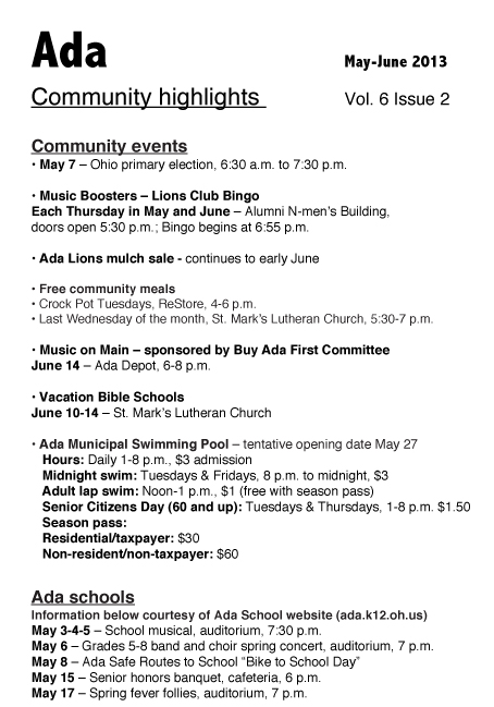
What's happening in Ada in July and August? The Ada Icon soliciates information about events taking place in the Ada school district this summer. Information will be posted on the next issue of Ada Community Highlights, a calendar, which is a joint project between the Community Improvement Corporation and The Ada Icon.
Persons with information may send the following to: [email protected]:
• Name of event
• Date of event
• Time of event
• Price of admission (if there is an admission fee)
• Contact person
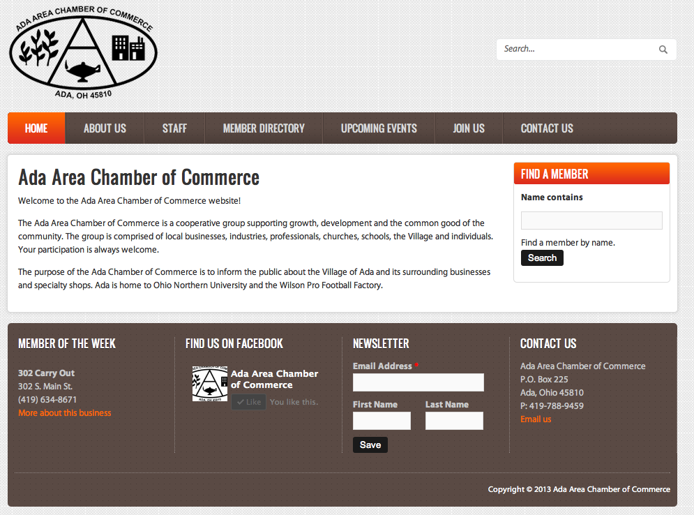
There’s an updated website in Ada that promotes the community. It’s the Ada Area Chamber of Commerce website. (www.adachamber.org).
The new site offers several features including:
• Chamber member of the week
• Chamber facebook link
• Chamber mission statement
• Chamber staff list
• Membership directory with phone numbers and link to member website
• Calendar of Ada events
• Membership application
• Link to contact the chamber